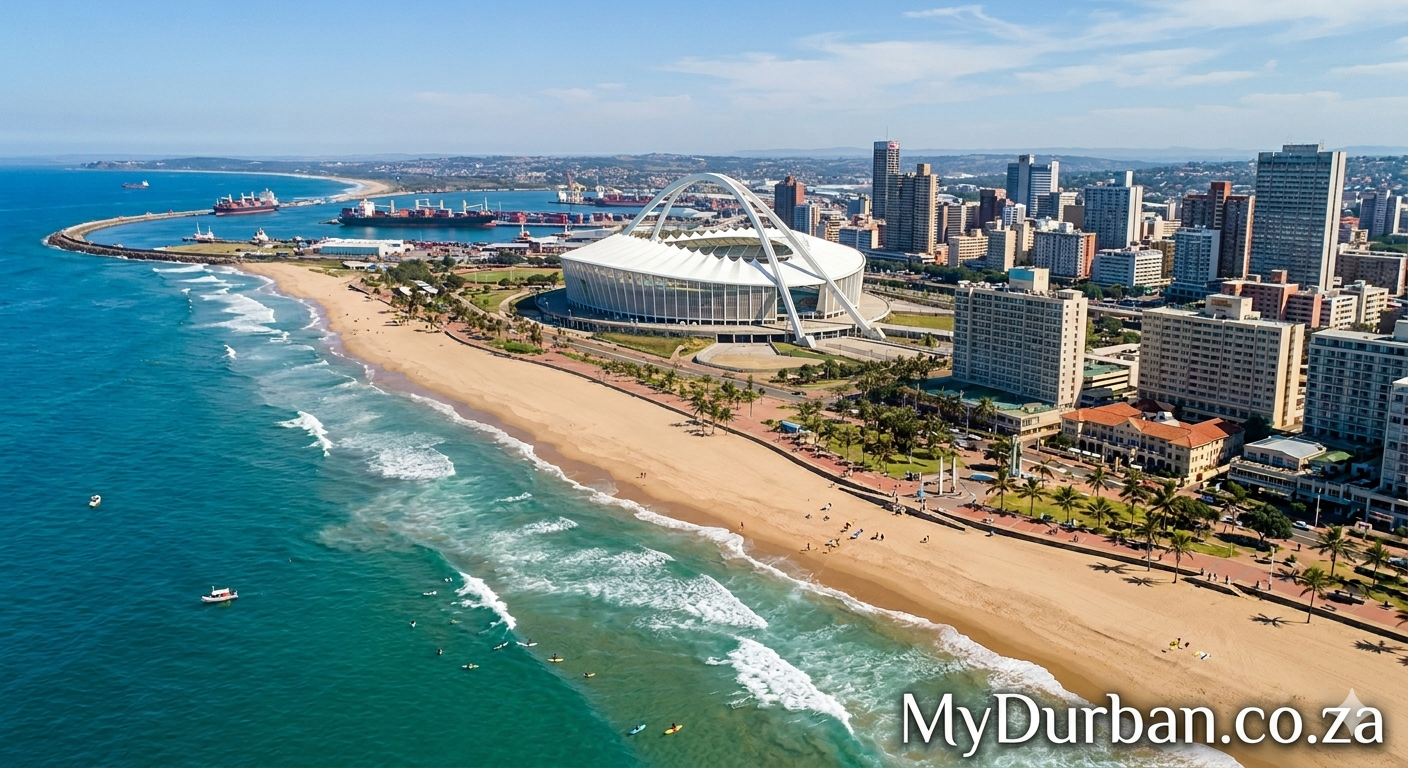
A “Valley of 1,000 Hills” image from Flickr – click on the name of the photographer below to see more Durban goodness and to thank the photographer.
Pictures of a postcard – Malaysia – Penang Hill Railway
Photo by railasia

On the island Penang (Pula Pinang) at Air Itam (near Georgetown – the capital of the isle) a 2.220 metres long funicular going up and down. An illuminated idea of the colonial rulers (British) to build a resort on top for relaxation due to cooler air and certain relieve of the sweltering heat in the valley down below. The construction started in 1920 and on October 21st 1923 the line was open to the public. By that time there were two sections respectively 907 and 1313 metres long both on meter gauge (1000 mm) with a change of cars at the Middle Station. This situation last till February 2010 and on April 25 one year later the line was completely refurbished and opens again as a single line with passing loops and brand new cars made in Switzerland. Georgetown once had a tramway network (1888 – 1936 (goods only till 1957)) from the main line to Air Itam a branch was build to the lower station of the Hill railway; first to transport construction materials but short before the opening (1923) with a public tram shuttle service. In 1937 this route was taken over by a nine-seater trolleybus till they were taken out of service in 1956. Card published by Yacine collection / photography St. Lee.
Click here to submit your News – free.
Have you tried: Videos From PE?
Quick Durban KwaZulu-Natal Fact: Geography – The Kwazulu Natalprovince has three different geographic areas. The lowland region along the Indian Ocean coast is extremely narrow in the south, widening in the northern part of the province. The central region is the Natal Midlands and is an undulating hilly plateau rising towards the west. Two mountainous areas are contained in this area, the Drakensberg Mountains in the west and the Lebombo Mountains in the north. The Drakensberg is a solid wall of basalt, rising over 3000m skyward near the Lesotho border, whilst the Lebombo Mountains are ancient granite mountains, forming low parallel ranges running southward from Swaziland. The Tugela River flows west to east, across the center of the province and is the region’s largest river. The coastal regions typically have subtropical thickets and deeper ravines and steep slopes host some true Afromontane Forest. The midlands have moist grasslands and isolated pockets of Afromontane Forest. The north has a primarily moist savanna habitat, whilst the Drakensberg region hosts mostly alpine grassland. The former Eastern Cape enclave, of the town of Umzimkulu and its hinterland, have been incorporated into KwaZulu-Natal, following the 12th amendment of the Constitution of South Africa. The amendment also made other changes to the southern border of the province.
Watch a Video:
