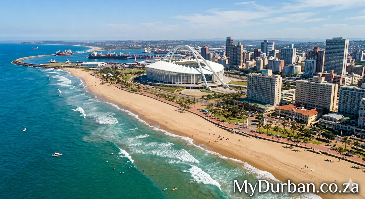
A “Valley of 1,000 Hills” image from Flickr – click on the name of the photographer below to see more Durban goodness and to thank the photographer.
Sutton Mountain
Photo by BLM Oregon & Washington

The painted hills of the Sutton Mountain Wilderness Study Area in central Oregon is one of those BLM gems that almost no-one outside the local area has heard about. The lower part of the WSA has exposures of the same clay formations that are found in the much smaller but equally spectacular John Day Fossil Beds National Monument, Painted Hills Unit, which lies just across the valley.
The upper peak of Sutton Mountain itself rises 2,000 feet above the valley with layers of ash and basalt building to the crest. The area is near the John Day River about an hour northeast of Prineville.
The Sutton Mountain (28,872 acres) Wilderness Study Areas is comprised of public lands which are under consideration for wilderness designation by Congress. These lands area managed by the BLM in a manner which maintains their suitability for preservation as wilderness.
When visiting, we ask the everyone bring along the 10 essentials and respect the following regulations:
-Vehicle Use: Motorized vehicle use is limited to roads signed as designated routes as depicted on the map.
-Cross-country travel on foot or horseback is allowed; however, cross-country vehicle travel is strictly prohibited.
-Violations of motor vehicle use restrictions are subject to a fine up to 00 and/or imprisonment.
-Leave a clean camp by practicing the “Pack it In, Pack it Out” ethic and leave the site better than as you found it.
-Give wildlife a break: camp away from watering areas.
-Use dead and down wood for campfires; the cutting of live vegetation or standing dead trees is prohibited.
-Obtain landowner permission before crossing private land.
More information is available at: www.blm.gov or stop by or call the Prineville BLM Office.
Prineville BLM
3050 N.E. 3rd Street
Prineville, OR 97754
Email: BLM_OR_PR_Mail@blm.gov
Phone: 541-416-6700
To learn more about wilderness study areas head on over to:
www.blm.gov/programs/national-conservation-lands/oregon-w…
Photo: Michael Campbell, BLM
Click here to submit your News – free.
Have you tried: Visiting Port Elizabeth?
Quick Durban KwaZulu-Natal Fact: Appropriately named “South Africa’s Garden Province”, the lush and green KwaZulu-Natal province forms the east coast of South Africa from the Mozambique boundary southwards to Port Edward. The coastline is dotted with small towns, many of which serve as seasonal recreational hubs. The climate of the coastal areas is humid and subtropical, comparable to southern Florida in the United States, but not quite as hot and rainy in the summer. As one moves further north, up the coast towards the border of Mozambique, the climate becomes almost purely tropical. North of Durban is locally referred to as “The North Coast”, while south is known as “The South Coast”. The Kwazulu-Natal Tourist board includes towns like Margate, Port Shepstone, Scottburgh and Port Edward in its definition of what constitutes the South Coast, while Ballito, Umhlanga and Salt Rock are quintessentially North Coast resort towns.
Watch a Video:

 Why your business should switch to a Cloud Hosted PBX System