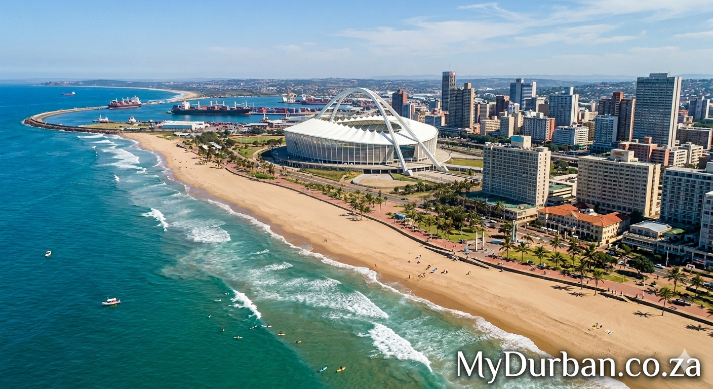
A “Valley of 1,000 Hills” image from Flickr – click on the name of the photographer below to see more Durban goodness and to thank the photographer.
ICONIC MOUNTAIN
Photo by Darkroom Daze

Snowdon (Yr Wyddfa), one of Britain’s most famous, most iconic and most ascended mountains (Snowdonia (Eryri), Gwynedd, North Wales (Cymru) ).
This is one of the ‘classic’ views of Snowdon, looking WSW from near the western end of the double lake, Llynau Mymbyr, near Capel Curig and the well-known outdoor pursuits centre, Plas y Brenin National Mountain Centre (both in the direction behind the camera). The tree with a few red berries on it (centre R), is a rowan (Sorbus aucuparia)
When I first started to explore Snowdonia, I camped at Capel Curig with a friend on a little site that was supposed to give on to views like this of Snowdon, but we were there a whole week and never saw Snowdon once. For those know Snowdonia, this isn’t actually any surprise, as its weather is notoriously fickle, wet and misty. So to capture Snowdon in conditions as in this photo, is rather rare for anyone like me, who comes only as a relatively infrequent visitor. I would guess the probability of seeing it like this on a random visit is about 1 in 5, though it would depend on time of year too.
———-
SNOWDON (YR WYDDFA)
What most people call ‘Snowdon’ is the whole mountain mass seen here in the distance, and this not really a single peak, but more of a massif of different peaks with four radiating ‘horseshoes’ and cwms (cirques, corries) separated by sharp rocky ridges (arrêtes). Snowdon proper is just one of the peaks – the highest one.
From L-R the visible peaks are:
– Y LLiwedd 898 m, Snowdon (Yr Wyddfa) 1085 m, Crib Goch 923 m, Garnedd Ugain / Crib y Ddysgl 1065 m.
– Y Lliwydd is the southeastern arrête.
– Together, Crib Coch and Crib y Ddysgl make up the eastern arrête separated by a high col.
– These two arrêtes actually run towards the camera, with a deep valley between them, Cwm Dyli.
– The famous Llanberis Pass starts between the main mountain mass in the distance, and the long slope on the R.
(I have put identifying notes for these peaks, etc., on this photo.)
———-
SNOWDONIA (ERYRI)
Snowdon lies within the Snowdonia National Park (Parc Cenedlaethol Eryri), and at 1085 m, it is the highest mountain in England and Wales. Although diminutive in height compared with many mountains beyond Britain, much of Snowdonia is rugged and offers serious challenges to walkers, climbers and mountaineers, especially in winter. Another factor is that like many other British mountains, ascent routes often begin quite close to sea-level, so elevation difference in the ascent is often around 1000 m. This isn’t a lot different from, say, many Alpine mountain walks, which begin at say 1000 – 1500 m altitude and ascend to 2000 – 2500 m. Inexperienced tourist walkers often underestimate Snowdonia terrain. There are relatively few constructed trails or way-marked routes and you often have to make up your own route. Even in summer the weather can change suddenly bringing poor visibility and surprisingly low temperatures. Snowdon is the most popular ascent because it’s accessible, exciting and iconic, and it also has some of the most challenging routes in Snowdonia. But for those who don’t fancy the climb or who are otherwise not in any condition to try, its summit is served by a mountain railway and a recently renovated café.
———-
IN DARWIN’S FOOTSTEPS
DARWIN’S ‘WELSH EXPEDITION’ TO THE ‘NORTH-WEST MOUNTAINS’: AUGUST 5-18, 1831: LLANGOLLEN TO BARMOUTH (ABERMAW)
Darwin did this field trip just a few months before he sailed on HMS Beagle. The field trip was instigated by his then geology professor at Cambridge, Adam Sedgwick, whom Darwin accompanied as a student assistant for some of Sedgwick’s longer trip. Darwin also did some the expedition separately from Sedgwick. Much of the geology of North Wales is challenging and there were few previous studies. Although it was a relatively short trip, Darwin later acknowledged that it significantly helped him to develop his geological knowledge and field skills, as well as his enthusiasm for geology generally. It therefore laid important foundations for his Beagle voyage. (It is not always realized that in the years before he published his best known work (Origin of Species, 1859), Darwin regarded himself primarily as a geologist, and was recognized as such by his contemporaries during those years.)
Darwin did not record the exact dates and route of much of this trip, but Michael Roberts (source below) has drawn on various sources to make a plausible reconstruction, which I have used to caption these ‘footsteps’ photos.
During this trip, Darwin climbed Moel Siabod, which lies out of sight to the L of this view, on August 15th 1831. He did this alone because at this stage in the trip, Sedgwick had earlier diverted to Dublin and was at Holyhead (Anglesey, North Wales) on his return from there, on August 15th. The previous day, Darwin had walked from Cwm Idwal to Capel Curig, from where he made his ascent of Moel Siabod the next day, from somewhere close to this view. He does not record whether he actually saw this particular view in this photo, or something similar, and perhaps Snowdon was shrouded in mist or cloud, as it is so often. Nevertheless, this particular view more or less lies in Darwin’s footsteps, at the start of his ascent of Moel Siabod.
SOURCES
– Darwin, C.R., 1831. darwin-online.org.uk/content/record?itemID=CUL-DAR5.B5-B16
– Barrett, Paul H. 1974. The Sedgwick-Darwin geologic tour of North Wales. Proceedings of the American Philosophical Society 118, No. 2. (19 April), pp. 146-164.darwin-online.org.uk/content/frameset?viewtype=text&i…
– Roberts, Michael B., 1998. Darwin’s dog-leg: the last stage of Darwin’s Welsh field trip of 1831. Archives of Natural History v. 25, p. 59-73.
———-
Photo
Brian Roy Rosen
Uploaded to Flickr March 10, 2014
© Darkroom Daze Creative Commons.
If you would like to use or refer to this image, please link or attribute.
ID: DSC_5686 – Version 2
Click here to submit your News – free.
Have you tried: Videos From PE?
Quick Durban KwaZulu-Natal Fact: Durban – Being a coastal city, Durban is constantly affected by the warm sea current flowing down its coastline. Durban stretches fromUmhlanga to Prospecton and includes Westville, and Chatsworth. The coast to the north and south of Durban enjoys beautiful beaches and warm water with high humidity. One of the most powerful currents in the world is the Agulhas Current, which travels southward down the Mozambique and KwaZulu-Natal shoreline. Surfing is one of the primary activities on the many beaches, where you will find the Surf Lifesavers with several signs demarcating safe swimming areas. Angling and boating are also very popular activities…
Watch a Video:
