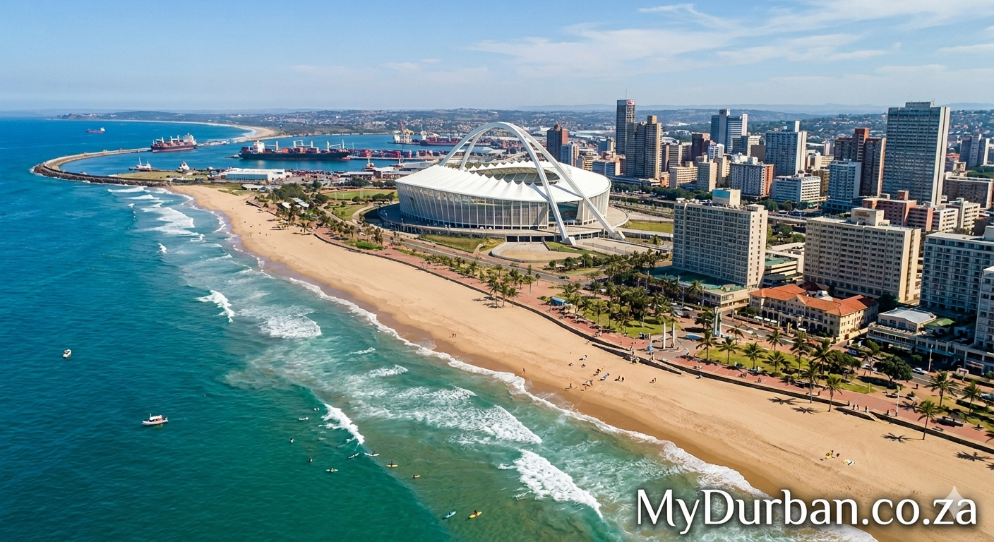
A “Durban Surf” image from Flickr – click on the name of the photographer below to see more Durban goodness and to thank the photographer.
Durban beach at night
Photo by Marie Pé

Click here to submit your News – free.
Have you tried: Travelling to South Africa?
Quick Durban KwaZulu-Natal Fact: Geography – The Kwazulu Natalprovince has three different geographic areas. The lowland region along the Indian Ocean coast is extremely narrow in the south, widening in the northern part of the province. The central region is the Natal Midlands and is an undulating hilly plateau rising towards the west. Two mountainous areas are contained in this area, the Drakensberg Mountains in the west and the Lebombo Mountains in the north. The Drakensberg is a solid wall of basalt, rising over 3000m skyward near the Lesotho border, whilst the Lebombo Mountains are ancient granite mountains, forming low parallel ranges running southward from Swaziland. The Tugela River flows west to east, across the center of the province and is the region’s largest river. The coastal regions typically have subtropical thickets and deeper ravines and steep slopes host some true Afromontane Forest. The midlands have moist grasslands and isolated pockets of Afromontane Forest. The north has a primarily moist savanna habitat, whilst the Drakensberg region hosts mostly alpine grassland. The former Eastern Cape enclave, of the town of Umzimkulu and its hinterland, have been incorporated into KwaZulu-Natal, following the 12th amendment of the Constitution of South Africa. The amendment also made other changes to the southern border of the province.
Watch a Video:

 First ever Royal AM vs Arrows KZN derby fails to live up to its prematch billing