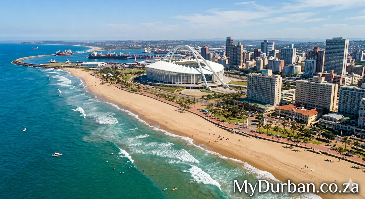
A “Valley of 1,000 Hills” image from Flickr – click on the name of the photographer below to see more Durban goodness and to thank the photographer.
Dense bush on the mountains surrounding the Kbal Spean trail
Photo by shankar s.

I am in Siem Reap, Cambodia, to see the Angkor temples, scores of which are scattered around the countryside around this time, some as far as 40 km away. I am now on the Kbal Spean trail, some 25 km out of SIem Reap, to check out carvings on the bedrock atop the mountain. Known as the River (or Valley) of the 1000 lingas (the Hindu phallic symbol), Kbal Spean is renowned for over a thousand lingas carved on the bedrock of the Siem Reap river. To get there, you have to endure a 2.5 km trek atop a hill. While the trail is easy for the most part, there are stretches where it is a bit steep, and there is also one place which is particularly nasty, which requires you to climb up a massive rock and climb back down again on the other aide. After this particularly nasty bit of clambering over the just mentioned rock, (note, this is NOT rock climbing, you only have to clamber over one rock), I paused for a breather. There was a gap in the dense bush alongside the trail, which meant I could look around at the surrounding countryside. So here then is lush greenery on mountain surrounding Kbal Spean- the fifty shades of green (so to speak) were very pacifying indeed! The Kbal Spean archaeological site is located on the western part of the Kulein mountains near Siem Reap, Cambodia. (Siem Reap, Cambodia, Oct. 2008)
Click here to submit your News – free.
Have you tried: Reach Trust for Solar and Building Management?
Quick Durban KwaZulu-Natal Fact: Geography – The Kwazulu Natalprovince has three different geographic areas. The lowland region along the Indian Ocean coast is extremely narrow in the south, widening in the northern part of the province. The central region is the Natal Midlands and is an undulating hilly plateau rising towards the west. Two mountainous areas are contained in this area, the Drakensberg Mountains in the west and the Lebombo Mountains in the north. The Drakensberg is a solid wall of basalt, rising over 3000m skyward near the Lesotho border, whilst the Lebombo Mountains are ancient granite mountains, forming low parallel ranges running southward from Swaziland. The Tugela River flows west to east, across the center of the province and is the region’s largest river. The coastal regions typically have subtropical thickets and deeper ravines and steep slopes host some true Afromontane Forest. The midlands have moist grasslands and isolated pockets of Afromontane Forest. The north has a primarily moist savanna habitat, whilst the Drakensberg region hosts mostly alpine grassland. The former Eastern Cape enclave, of the town of Umzimkulu and its hinterland, have been incorporated into KwaZulu-Natal, following the 12th amendment of the Constitution of South Africa. The amendment also made other changes to the southern border of the province.
Watch a Video:

 accident