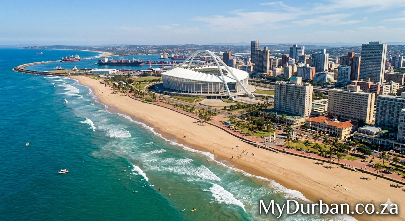
A “Valley of 1,000 Hills” image from Flickr – click on the name of the photographer below to see more Durban goodness and to thank the photographer.
Crested Tern (Thalasseus bergii) (40 – 50 centimetres)
Photo by Geoff Whalan

Stokes Hill Wharf, Darwin Harbour, Northern Territory, Australia
Darwin Harbour is the body of water close to Darwin in the Australian Northern Territory. It opens to the north at a line from Charles Point in the west to Lee Point in the east into the Beagle Gulf and connects via the Clarence Strait with the Van Diemen Gulf. It contains Port Darwin, which is flanked by Frances Bay to the east and Cullen Bay to the west.
Name
It was named after the naturalist Charles Darwin who sailed with Robert Fitzroy on the ship HMS Beagle around parts of Australia. However, Darwin and Fitzroy sailed in 1836 from King George’s Sound (Western Australia) directly to the Cocos-Keeling Islands, at the south coast of Java, and from there to Cape Town and back to England. They stayed thus away from Darwin Harbour by 3000 sea miles and did not know of its existence.
Climate
The climate of the Darwin Harbour region is monsoon tropical with two distinct seasons: the Dry and the Wet. The Dry lasts for 6 months between April and September with an average rainfall of 24 mm, whereas the Wet lasts between October and March with an average monthly rainfall of 254 mm/month (according to the Bureau of Meteorology, 1999). The majority of the rain falls between December and April. Runoff varies between 250–1000 mm. Riverine discharge is relatively low with the exception of the Blackmore River and Elizabeth River. Peak flow for these rivers occurs in February, respectively 605Ml/day and 389 Ml/day, after which it slowly decreases until July when there is no freshwater input into Darwin Harbour until the onset of the following wet season (Padovan 1997). Cyclone frequency is low to moderate.
Marine life
Darwin Harbour supports very high fish diversity with 415 fish species now known. Darwin Harbour provides a unique opportunity to see dugongs in the wild, because their favourite food is located off Casuarina and Vestey’s beaches. Seagrass meadows are also the main diet of green turtles and provide habitats for many smaller marine animals including commercially important species such as prawns and fish.
Oceanography
The tides at Port Darwin are macro-tidal with a maximum tidal range of 7.8 m, a mean spring range of 5.5 m and a mean neap range of 1.9 m (Padovan, 1997). The currents caused by these tides are complex and strong.
Estuaries
The Elizabeth River Bridge across Elizabeth River, upstream the East Arm of Darwin Harbour
Darwin Harbour is a drowned river valley and consist of ria shorelines and extensive headlands.
Catchment
The catchment of Darwin Harbour occupies a total area of approximately 3,230 square kilometres (1,247 sq mi), of this 2,010 square kilometres (776 sq mi) is land based and the other 1,220 square kilometres (471 sq mi) are estuarine areas at the high water mark.
Click here to submit your News – free.
Have you tried: Visiting Port Elizabeth?
Quick Durban KwaZulu-Natal Fact: In June 2007 the KZN parliament passed the Prevention of Slums Bill in the Provincial Parliament. The Bill compels landowners to evict shackdwellers, on the threat of arrest and criminalises resistance to evictions. The provincial Department of Housing, that brought the Bill to the Provincial Parliament, has repeatedly stated that ‘the slums will be cleared by 2010 in KwaZulu-Natal’. The Bill has been heavily criticised by academics, human rights organisations and civil society. The shack dwellers’ movement Abahlali baseMjondolo is planning mass mobilising against the Bill and is also taking the matter to the Constitutional Court with support from a pro bono legal centre.
Watch a Video:

 Provinces and the pandemic: KwaZulu-Natal, Eastern and Western Cape brace for the Covid third wave