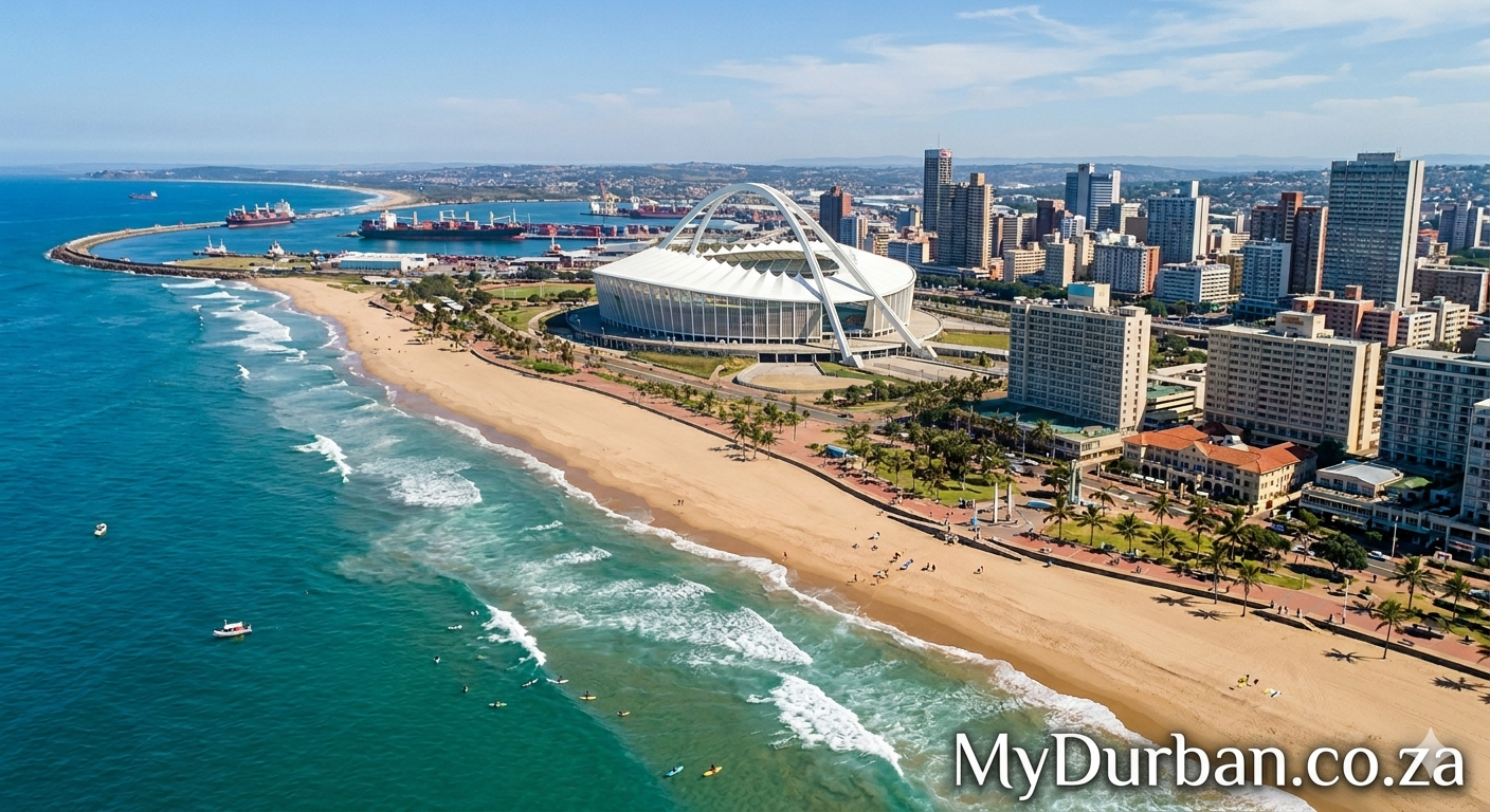
A Durban tagged image from Flickr – click on the name of the photographer below the image to see more Durban goodness.
Image from page 171 of “Natal province : descriptive guide and official hand-book” (1911)

Image by Internet Archive Book Images
Identifier: natalprovincedes00tatl
Title: Natal province : descriptive guide and official hand-book
Year: 1911 (1910s)
Authors: Tatlow, A.H South African Railways. Publicity Dept
Subjects: Railroads
Publisher: Durban, Natal : South African Railways Printing Works
Contributing Library: Robarts – University of Toronto
Digitizing Sponsor: University of Toronto
View Book Page: Book Viewer
About This Book: Catalog Entry
View All Images: All Images From Book
Click here to view book online to see this illustration in context in a browseable online version of this book.
Text Appearing Before Image:
iven in English high schools. Pupils are preparedfor the Cape University Examinations. Cambridge University Local Examinations. Royal Collegeof Music, and Royal Drawing Society Examinations. All information may be obtained fromthe Lady Warden. HILTON COLLEGE Hilton College, a public school for boys (boarders only), was founded in 1872 by theRev. W. Newnham, who was succeeded in 1878 by Mr. H. V. Ellis. In 1903 the school wasacquired by the Old Boys. an influential committee of whom form the governing body. 150 The school is ideally situated, five miles from Hilton Road station, on an estate of1760 acres. New buildings were opened in May, 1905, providing accommodation for 100boarders. A favourable opportunity only is waited for extension of these. The school admitsboys from the age of 12 years to 19 years, but there is also a preparatory department forboys from eight to 12 years of age. The curriculum of the college and the life there are modelled on those of the Englishpublic schools.
Text Appearing After Image:
Hilton College [Photo by Hilton College Co CEDARA.—Immediately after leaving Hilton Road, away to the left is observedf Altltude 3541 feet- > one of the landmarks of Natal, the Zwaartkop Mountain. I Distance . 84 miles, j at ^he h.ase of which runs the boundary of the GovernmentExperimental Farm with headquarters at Cedara. The summit of the Zwaartkop is one of the main natural signalling stationsof South Africa, it forming one of a series connecting, on the one side with theBluff at Durban, the Drakensberg on the other, and from thence into theOrange Free State. The Karkloof range of hills are close at hand, where thecelebrated Karkloof Falls precipitate themselves into the magnificent ravinebelow, and behind in the blue distance—the Drakensberg, although 80 milesdistant, can be seen with its jagged peaks and pinnacles, the outlines of whichwhen covered with snow are even more distinct. A full view of the Governmentfarm is obtained from the line, with the college and buildings
Note About Images
Please note that these images are extracted from scanned page images that may have been digitally enhanced for readability – coloration and appearance of these illustrations may not perfectly resemble the original work.
